Wallpapers tagged with "estuary"
 Aerial view of Everglades National Park, Florida, United States
 Mackenzie River delta, Northwest Territories, Canada
 Santa Cruz River, Patagonia, Argentina
 Nuami Islet, Nokan Hui atoll at the south of the Isle of Pines, New Caledonia, France
 The River Medina on the Isle of Wight
 Aerial view of Ocean Drive in Newport, Rhode Island
 Tatuamunha River estuary, Brazil
 Tidal flats, Katmai National Park, Alaska
 Sanday Island and the North Sea, Scotland
 Gates of the Arctic National Park and Preserve, Alaska
 Aerial view of Foehr island, Schleswig-Holstein, Germany
 Aerial view of the coastline at Sand Point, Somerset, England
 Flood plains in the Pantanal, Brazil
 A delta in the Venetian Lagoon, Italy
 Five Fingers Strand near Malin Head, Ireland
 Bloom of microscopic phytoplankton scattered across the surface of the Black Sea
 Sindhudurg Fort, Maharashtra, India
 Lençóis Maranhenses National Park in Barreirinhas, Brazil
 Map of Earth created by the Global Inventory Modeling and Mapping Studies (GIMMS) project at NASA’s Goddard Space Flight Center
 Caroline Atoll, Kiribati
 Aerial view of the Bay of Authie, Somme, Hauts-de-France
 Aerial view of Galešnjak Island on the Adriatic coast of Croatia
 Marshland in Shediac, New Brunswick, Canada
 Lagoon near San Jose del Cabo, Baja California Sur, Mexico
 The Osterseen in Upper Bavaria, Germany
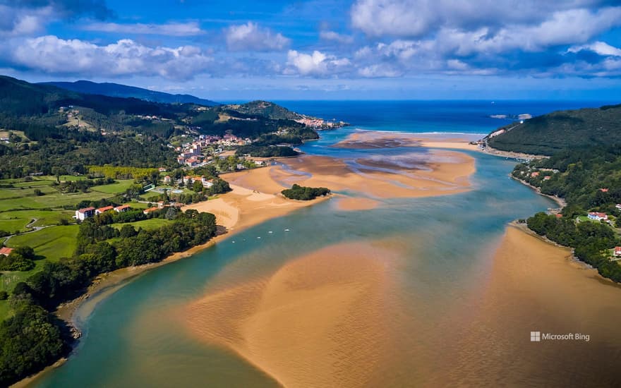 Oca River, Mundaka, Vizcaya, Basque Country, Spain
 The Lena Delta Wildlife Reserve in Siberia, Russia
 Petit Minou Lighthouse, Brittany, France
 Porto Timoni beach, Corfu, Greece
 Cliffs of Telašćica Nature Park, Dugi Otok Island, Croatia
 Aerial view of Sydney Harbour, New South Wales, Australia
 Henningsvær Stadium, Norway
 Aerial view, Hallig Norderoog, small island in the Wadden Sea, Norderoog, Schleswig-Holstein, Germany
 Aerial view of Daintree River and rainforest, Australia
 Barrier reef off Grande Terre, New Caledonia, France
 Storseisundet Bridge, Atlantic Ocean Road, Norway